Greenville, SC
Drone & Aerial Photography in Greenville, SC
FAA Part 107–licensed aerial photo and video — perfect for acreage, waterfront, and showing neighborhood context.
About Drone & Aerial Photography in Greenville
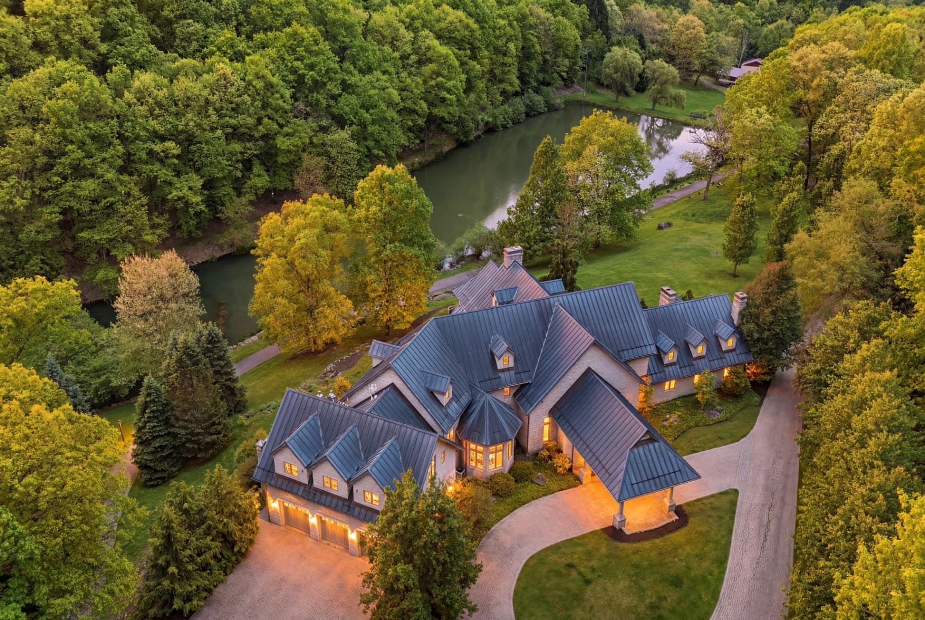
Greenville sells on lifestyle and location, and aerial imagery captures both. Drone shots show a home's proximity to downtown, the Swamp Rabbit Trail, or the mountains, along with lot size and setting on larger Upstate properties, context that resonates with the relocation buyers drawn to the area's quality of life. For homes where the location or land is the draw, a single aerial shot can tell the story instantly. Our FAA Part 107-licensed pilots deliver it next business day.
What's included
- FAA Part 107–licensed pilots, fully insured
- 5–10 stills + optional 4K aerial video clips
- Lot lines and property boundary stills available
- Neighborhood context shots (parks, amenities, schools)
- Same-shoot bundle pricing when paired with photo
Why it matters
Aerials show what ground-level photos can't — lot size, surrounding amenities, water frontage, treeline, and how a property sits in its neighborhood. Required for serious listings over 1 acre, on water, or with a view.
Neighborhoods we serve in Greenville
Downtown Greenville · West End · North Main · Augusta Road · Cleveland Park · Hollingsworth Park · Verdae · Five Forks · Simpsonville · Mauldin · Fountain Inn · Greer · Taylors · Travelers Rest · Easley · Powdersville
Drone & Aerial in Greenville — FAQ
Which Greenville listings benefit most from drone?
Homes near the trail or downtown, properties with notable lots or acreage, and any listing where proximity to Upstate amenities or the mountains adds value.
Are your drone pilots licensed?
Yes. All aerial work is flown by FAA Part 107-licensed, insured pilots following local airspace rules.
Related reading: Real estate media in Greenville, SC