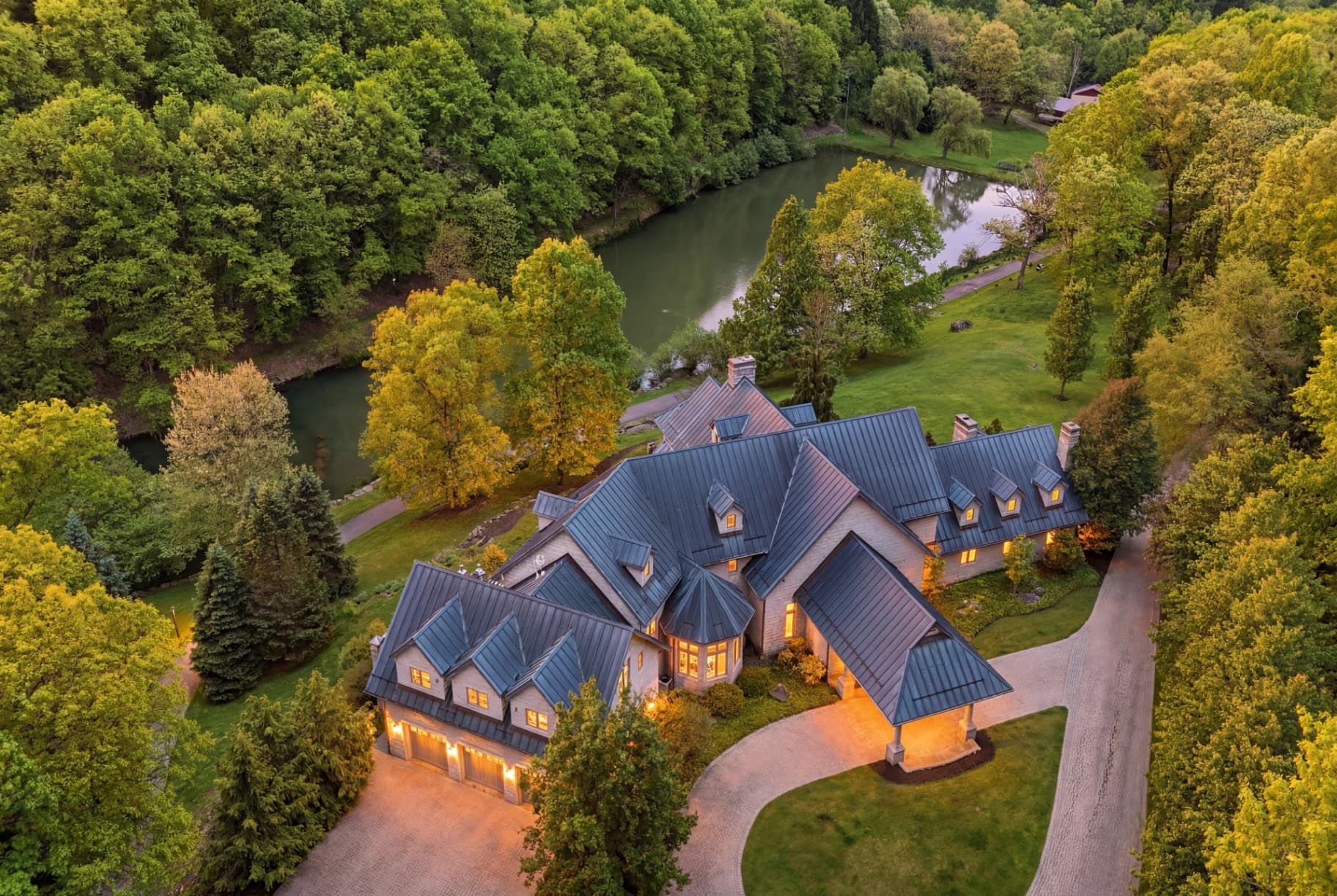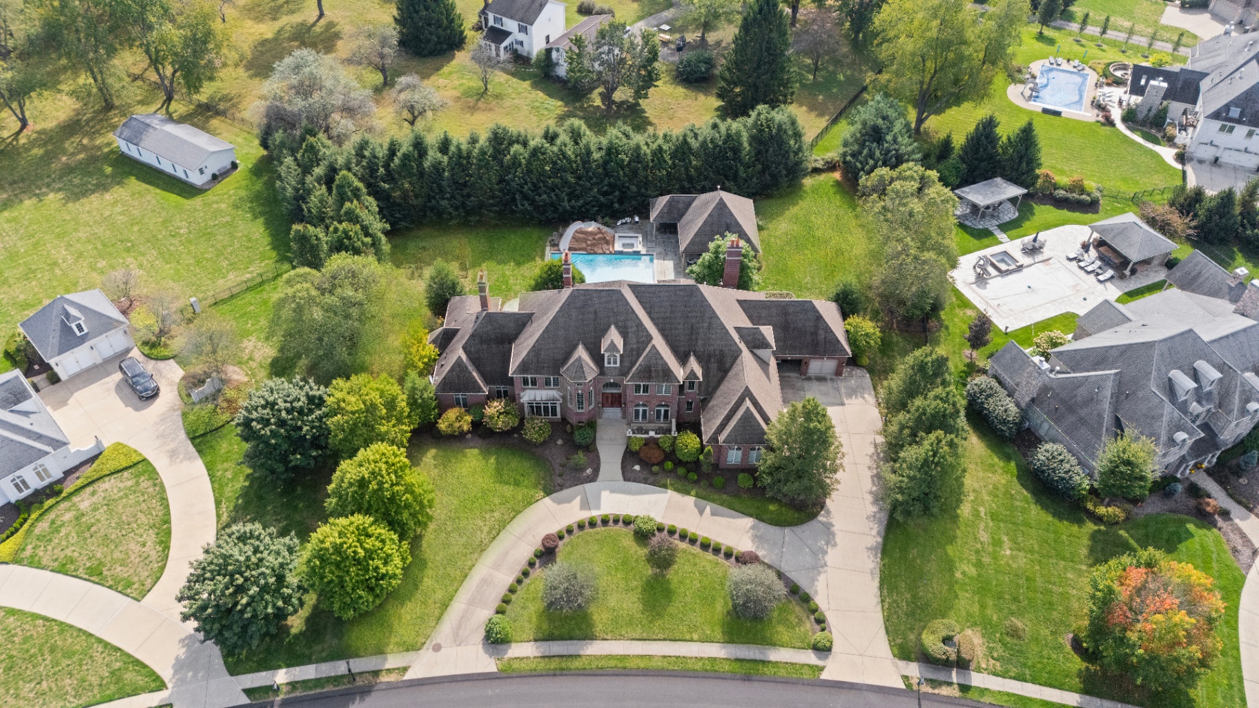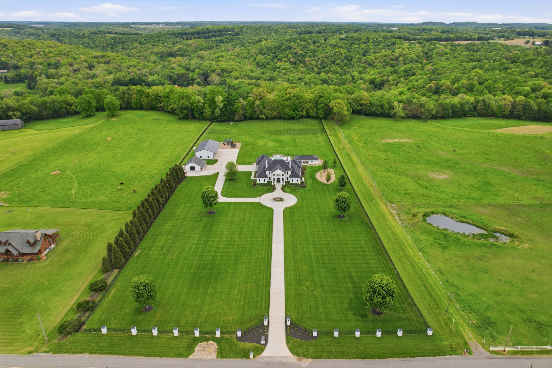
Land sells from the air
Buyers need to see topography, water, and how the parcel sits in its surroundings — only drone can show that.
Specialty
Ground photos plus dedicated drone coverage built specifically for land listings.
The deliverables
One booking, every asset you need to list, market, and grow your brand.
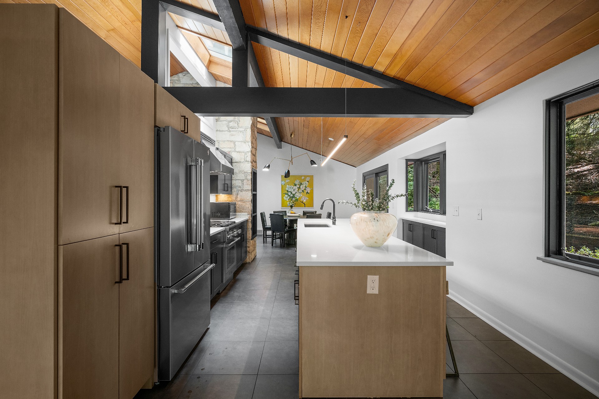
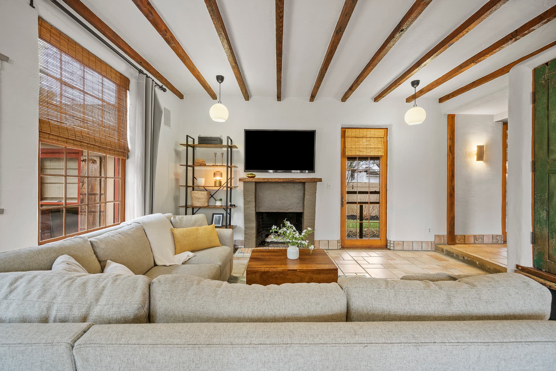
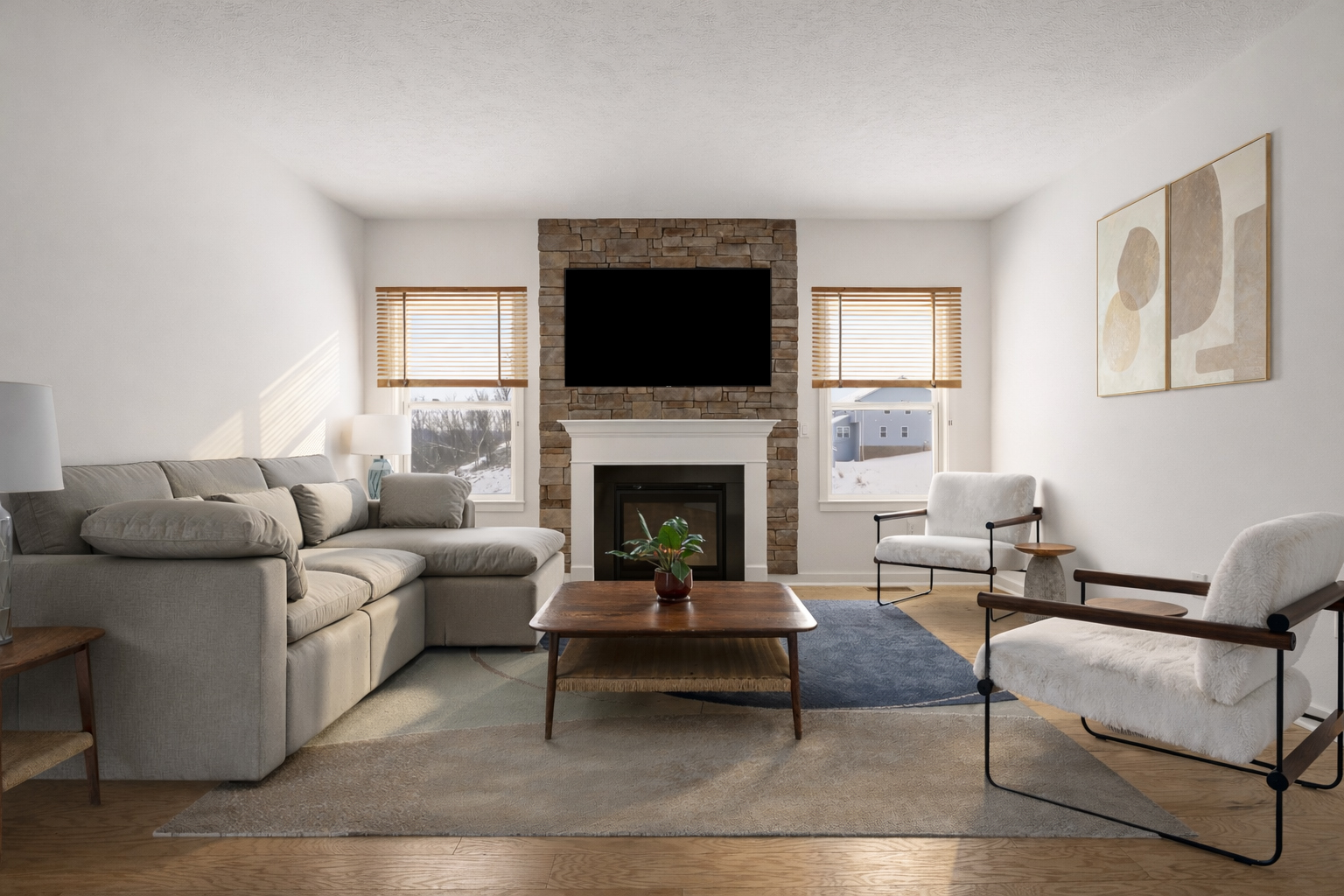
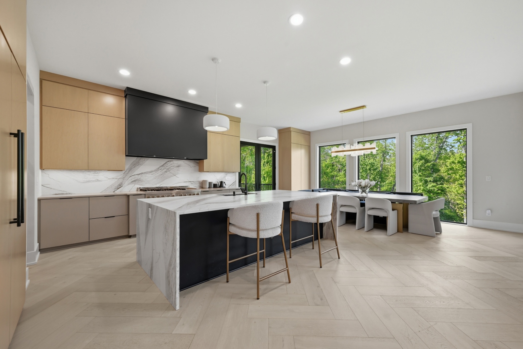
Professionally edited photos of the property at ground level.
Extensive drone coverage from licensed FAA Part 107 pilots.
Dedicated frames of the parcel's most marketable features.
Aerial perspectives that help buyers understand parcel shape and surroundings.
Sized and cropped for every major MLS and land marketplace.
A fully-customizable single-property website included free with every package.
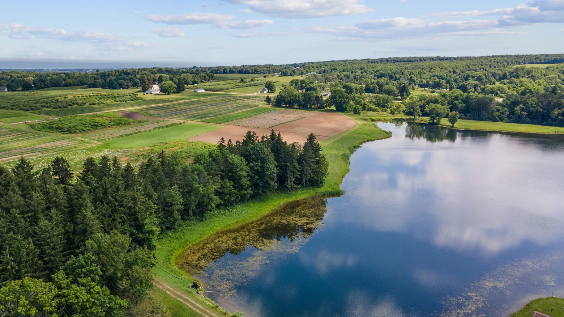
Land buyers need to see boundaries, topography, water, road frontage, and how the parcel sits in its surroundings. Our Land & Lot Package is built around aerial coverage with ground photos to complete the story.
Buyers need to see topography, water, and how the parcel sits in its surroundings — only drone can show that.
Drone for context plus ground shots of creeks, road frontage, and clearings — the full story of the parcel.
Elevated aerials show parcel shape, neighbors, and access — the questions land buyers always ask first.
FAQs